Pheta
फेटा | |
|---|---|
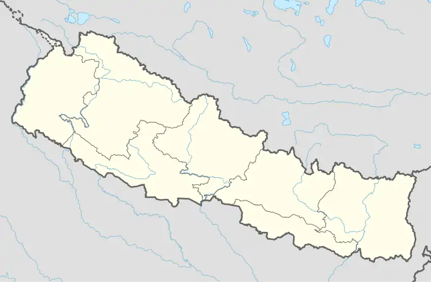  Pheta Location in Nepal | |
| Coordinates: 27°00′N 84°56′E / 27.00°N 84.94°E | |
| Country | Nepal |
| Development Region | Central |
| Zone | Narayani Zone |
| District | Bara District |
| Province | Province No. 2 |
| Government | |
| • Type | Chairperson |
| • Mayor | Rushtam Ansari (BSP) |
| • Deputy Chairperson | Nilam Sah (BSP) |
| Area | |
| • Total | 23.65 km2 (9.13 sq mi) |
| Population (2011)[1] | |
| • Total | 26,722 |
| • Density | 1,100/km2 (2,900/sq mi) |
| • Religions | Hindu Muslim |
| Languages Bhojpuri = Local | |
| Time zone | UTC+5:45 (NST) |
| Postal Code | 44400 |
| Area code | 053 |
| Website | http://www.phetamun.gov.np/ |
Pheta (Nepali: फेटा) is a rural municipality in Bara District in Province No. 2 of Nepal. It was formed in 2016 occupying current 7 sections (wards) from previous 7 former VDCs.[2] It occupies an area of 23.65 km2 with a total population of 26,722.[3][4][1]
References
- 1 2 Nepal, Government of Nepal (November 2012). ""National Population and Housing Census 2011 (Village Development Committee/Municipality)" (PDF). National Planning Commission. Archived from the original (PDF) on 5 October 2018. Retrieved 27 December 2018.
- ↑ "PM formally announces 744 local units operational". My Republica. Archived from the original on 13 August 2018. Retrieved 13 August 2018.
- ↑ "स्थानिय तह". 103.69.124.141. Archived from the original on 31 August 2018. Retrieved 1 September 2018.
- ↑ "Population Ward Level 753 Local Unit" (PDF). CBS. 2 June 2017. Archived from the original (PDF) on 27 January 2018. Retrieved 27 December 2018.
Headquarter: Kalaiya | ||
| Sub-Metropolitan Cities | 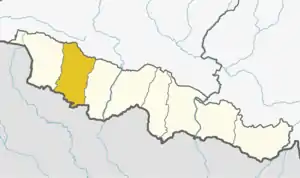 | |
| Municipalities | ||
| Rural municipalities | ||
This article is issued from Wikipedia. The text is licensed under Creative Commons - Attribution - Sharealike. Additional terms may apply for the media files.