Hollabrunn
Hollabrunn é um município da Áustria localizado no distrito de Hollabrunn, no estado de Baixa Áustria.[1]
| Hollabrunn | |
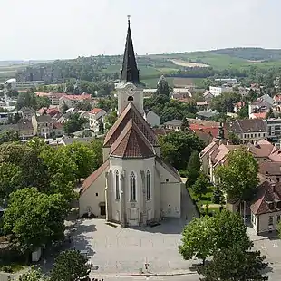 Hollabrunner Pfarrkirche | |
| Brasão | Mapa |
|---|---|
 |
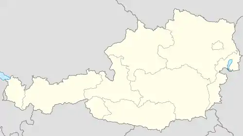 Hollabrunn Mapa da Áustria, posição de Hollabrunn acentuada |
| Dados gerais | |
| País: | |
| Estado: | Baixa Áustria |
| Distrito: | Hollabrunn |
| Coordenadas geográficas: | |
| Altitude: | 236 metros acima do nível do mar |
| Área: | 152.38 km² |
| População: | 11128 (2005-12-31) |
| Densidade populacional: | hab./km² |
| Placa de veículo: | HL |
| Código postal: | 2020 |
| Código telefônico: | 02952 |
| Endereço da prefeitura: | Hauptplatz 1 |
| Website: | sítio oficial |
| Prefeito: | Erwin Bernreiter |
| Partido no poder: | ÖVP |
| NUTS: | AT125 |
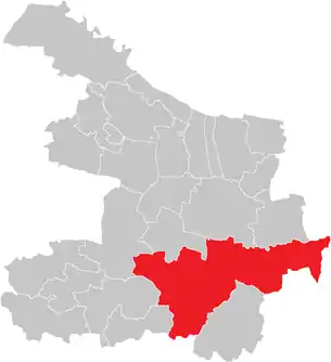
| Localização de Hollabrunn no distrito de Hollabrunn | |
 | |
Subdivisões
Altenmarkt im Thale, Aspersdorf, Breitenwaida, Dietersdorf, Eggendorf im Thale, Enzersdorf im Thale, Groß, Hollabrunn, Kleedorf, Kleinkadolz, Kleinstelzendorf, Kleinstetteldorf, Magersdorf, Mariathal, Oberfellabrunn, Puch, Raschala, Sonnberg, Suttenbrunn, Weyerburg, Wieselsfeld, Wolfsbrunn
Política
O burgomestre é Helmut Wunderl do Partido Popular Austríaco.
Conselho Municipial
- ÖVP 20
- SPÖ 10
- FPÖ 4
- Os Verdes - Alternativa Verde 3
Referências
- «Ein Blick auf die Gemeinde» (em alemão). Statistik.at. Consultado em 6 de abril de 2012
This article is issued from Wikipedia. The text is licensed under Creative Commons - Attribution - Sharealike. Additional terms may apply for the media files.