| Cotton End | |
|---|---|
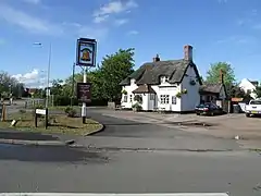 The Bell public house | |
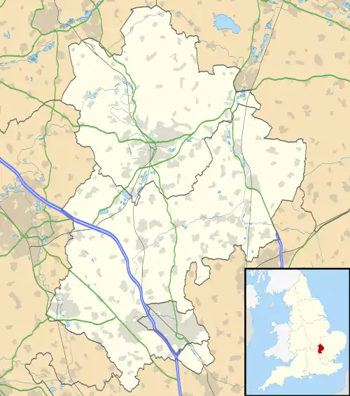  Cotton End Location within Bedfordshire | |
| Population | 838 |
| OS grid reference | TL084404 |
| Civil parish |
|
| Unitary authority | |
| Ceremonial county | |
| Region | |
| Country | England |
| Sovereign state | United Kingdom |
| Post town | BEDFORD |
| Postcode district | MK45 |
| Dialling code | 01234 |
| Police | Bedfordshire |
| Fire | Bedfordshire and Luton |
| Ambulance | East of England |
| UK Parliament | |
Cotton End is a small village and civil parish on the outskirts of Bedford. It became its own parish as of 1 April 2019, having previously been part of the parish of Eastcotts.[1][2] Ordnance Survey maps from the 1880s show its name as 'Cardington Cotton End'.[3]
There is a primary school, a Baptist church, a village hall and a pub.
The Baptist chapel was founded here in 1777. In 1912, Cotton End was described as a scattered hamlet with a school and a farm.[4] It lies further down the A600 road from Shortstown.
A new woodland created by the Forest of Marston Vale in 2005 called Shocott Spring.
References
- ↑ "The Borough of Bedford (Reorganisation of Community Governance) Order 2019" (PDF). Local Government Boundary Commission for England. Archived from the original (PDF) on 11 July 2020. Retrieved 8 July 2020.
- ↑ "Agenda item - REPORTS OF THE GENERAL PURPOSES COMMITTEE". 28 March 2018.
- ↑ "Home". old-maps.co.uk.
- ↑ Page, William (1912). A History of the County of Bedford: Volume 3. pp. 233–238.
External links
 Media related to Cotton End at Wikimedia Commons
This article is issued from Wikipedia. The text is licensed under Creative Commons - Attribution - Sharealike. Additional terms may apply for the media files.