Kennishead
| |
|---|---|
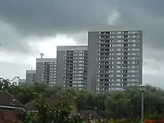 Tower blocks on Kennishead Avenue | |
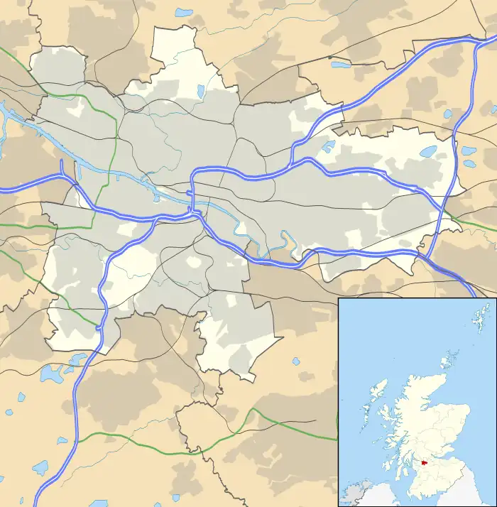  Kennishead Location within Glasgow | |
| OS grid reference | NS545602 |
| Council area | |
| Lieutenancy area |
|
| Country | Scotland |
| Sovereign state | United Kingdom |
| Post town | GLASGOW |
| Postcode district | G46 |
| Dialling code | 0141 |
| Police | Scotland |
| Fire | Scottish |
| Ambulance | Scottish |
| UK Parliament | |
| Scottish Parliament | |
Kennishead (Scots: Kennisheid, Scottish Gaelic: Ceann Ceanais)[1] is a neighbourhood in the Scottish city of Glasgow. Its territory, south of the River Clyde, is fairly isolated, bordering a park to the south and a golf course to the north, as well as the residential area of Carnwadric. The majority of the housing consists of three (originally five, two since demolished)[2] high rise tower blocks of 23 storeys, which dominate the area visually.[3]
The area is also home to the disused farm from which it takes its name,[4] formerly owned by Sir John Maxwell.
Kennishead was originally called "Kenneth's Head".[5]
Kennishead railway station is on the Glasgow South Western Line to Barrhead.
See also
References
- ↑ List of railway station names in English, Scots and Gaelic – NewsNetScotland Archived 22 January 2013 at the Wayback Machine
- ↑ "Five high-rise caretakers sacked after being accused of 'allowing drug deals' in the tower blocks". Daily Record. 6 August 2015. Retrieved 2 November 2018.
- ↑ "Tower Block: Kennishead". University of Edinburgh. Retrieved 2 November 2018.
- ↑ Kennishead (Pollok House, 1830), The Glasgow Story
- ↑ Map of the County of Renfrew, National Library of Scotland
External links
This article is issued from Wikipedia. The text is licensed under Creative Commons - Attribution - Sharealike. Additional terms may apply for the media files.