Patterson | |
|---|---|
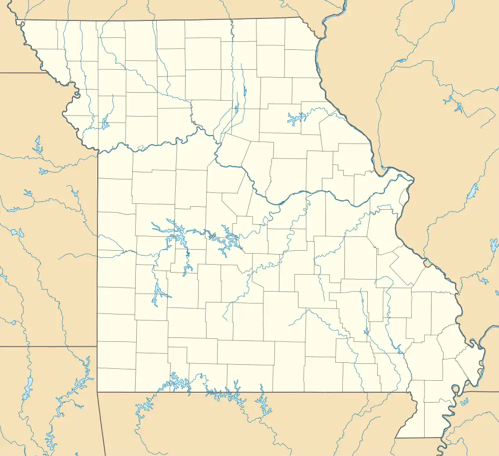  Patterson Location within the state of Missouri | |
| Coordinates: 37°11′18″N 90°33′02″W / 37.18833°N 90.55056°W | |
| Country | United States |
| State | Missouri |
| County | Wayne |
| Elevation | 433 ft (132 m) |
| Time zone | UTC-6 (Central (CST)) |
| • Summer (DST) | UTC-5 (CDT) |
| ZIP code | 63956[2] |
| Area code | 573 |
| GNIS feature ID | 751509[1] |
Patterson is an unincorporated community in northwest Wayne County, Missouri, United States. It is located approximately 7.5 miles east of Piedmont on Route 34.[3]
History
A post office called Patterson has been in operation since 1851.[4] The community has the name of George and William Patterson, pioneer citizens.[5]
Fort Benton, a nearby historic Civil War fortification, and the Sam A. Baker State Park Historic District are listed on the National Register of Historic Places.[6]
Clark Mountain is located due west of Patterson while Aley Mountain is located northwest of Patterson.
Notable person
- Richard P. Bland, Missouri congressman and former Dean of the United States House of Representatives
References
- 1 2 U.S. Geological Survey Geographic Names Information System: Patterson, Missouri
- ↑ "Patterson ZIP Code". zipdatamaps.com. 2022. Retrieved November 30, 2022.
- ↑ Missouri Atlas & Gazetteer, DeLorme, First edition, 1998, p. 56 ISBN 0899332242
- ↑ "Post Offices". Jim Forte Postal History. Retrieved January 1, 2017.
- ↑ "Wayne County Place Names, 1928–1945". The State Historical Society of Missouri. Archived from the original on June 24, 2016. Retrieved January 1, 2017.
- ↑ "National Register Information System". National Register of Historic Places. National Park Service. July 9, 2010.
Municipalities and communities of Wayne County, Missouri, United States | ||
|---|---|---|
| Cities | 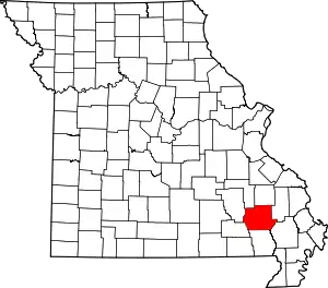 Map of Missouri highlighting Wayne County | |
| Village | ||
| Townships | ||
| Unincorporated communities | ||
| Ghost towns | ||
This article is issued from Wikipedia. The text is licensed under Creative Commons - Attribution - Sharealike. Additional terms may apply for the media files.