| Rains Brook | |
|---|---|
 Rains Brook near Wolscott Bridge, Dunchurch | |
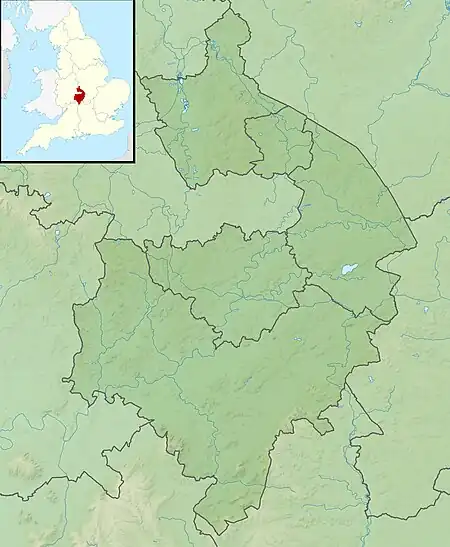  Location of the mouth within Warwickshire | |
| Location | |
| Country | England |
| Counties | Northamptonshire, Warwickshire |
| Physical characteristics | |
| Source | |
| • location | Kilsby |
| Mouth | |
• location | Leam |
• coordinates | 52°18′49″N 1°17′09″W / 52.313540°N 1.285856°W |
| Length | 11.8 km (7.3 mi) |
Rains Brook is a 11.8-kilometre-long (7.3 mi) tributary of the River Leam.[1]
Formed by a series of small headwater streams midway between Barby and Kilsby in Northamptonshire, it then flows west in a valley south of Rugby on the border between Northamptonshire and Warwickshire. It then runs south-west to where it joins the River Leam, between Kites Hardwick and Woolscott.[1]
See also
References
- 1 2 "Rains Brook". Catchment Data Explorer. Environment Agency. Retrieved 11 December 2016.
 Rivers and watercourses of Northamptonshire Rivers and watercourses of Northamptonshire | |
|---|---|
This article is issued from Wikipedia. The text is licensed under Creative Commons - Attribution - Sharealike. Additional terms may apply for the media files.