Sihani | |
|---|---|
Village | |
| Sihani | |
| Nickname: Chitrakoni Khurd | |
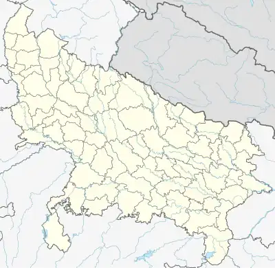  Sihani Location of Sihani in Uttar Pradesh | |
| Coordinates: 25°22′30″N 83°39′52″E / 25.37500°N 83.66444°E | |
| Country |  India India |
| State | Uttar Pradesh |
| District | Ghazipur |
| Established | 1780 |
| Government | |
| • Type | Gram panchayat |
| • Body | Gram pradhan |
| Area | |
| • Total | 244.73 ha (604.74 acres) |
| Elevation | 72 m (236 ft) |
| Population (2011) | |
| • Total | 1,307 |
| Languages | |
| • Official | Hindi/Urdu |
| Time zone | UTC+5:30 (IST) |
| PIN | 232326 to** (** area code) |
| Vehicle registration | UP 61 |
| Climate | BW (Köppen) |
Sihani is a village in Kamsaar, in Ghazipur district, Uttar Pradesh, India.[1][2][3] As of 2011 census the main population of the village lived in 18.7 acres and had 220 households.[4]
Historical population
| Year | Pop. | ±% |
|---|---|---|
| 1861 | 153 | — |
| 1871 | 168 | +9.8% |
| 1881 | 182 | +8.3% |
| 1891 | 205 | +12.6% |
| 1901 | 225 | +9.8% |
| 1911 | 248 | +10.2% |
| 1921 | 272 | +9.7% |
| 1931 | 300 | +10.3% |
| 1941 | 320 | +6.7% |
| 1951 | 400 | +25.0% |
| 1961 | 520 | +30.0% |
| 1971 | 610 | +17.3% |
| 1981 | 672 | +10.2% |
| 1991 | 738 | +9.8% |
| 2001 | 812 | +10.0% |
| 2011 | 1,307 | +61.0% |
| Source:Census of India[5][6][7] | ||
References
- ↑ "Sihani village, Bhadaura block, Ghazipur".
- ↑ "Pincode of Sihani, Zamania, Ghazipur, Uttar Pradesh".
- ↑ "List of villages and blocks in Ghazipur district".
- ↑ "Bhulekh".
- ↑ "Census of India". mospi.gov.in. Archived from the original on 13 August 2008. Retrieved 23 June 2008.
- ↑ "2011 census of India".
- ↑ "Historical Census of India". Archived from the original on 17 February 2013. Retrieved 5 November 2015.
This article is issued from Wikipedia. The text is licensed under Creative Commons - Attribution - Sharealike. Additional terms may apply for the media files.