Barjibang
बर्जिबाङ | |
|---|---|
Village Development Committee | |
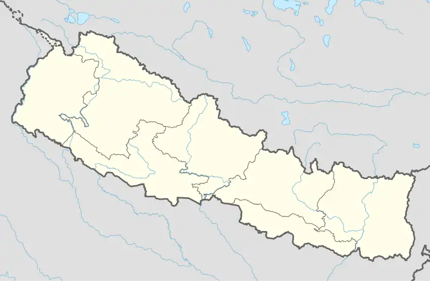  Barjibang Location in Nepal | |
| Coordinates: 28°08′N 82°46′E / 28.13°N 82.77°E | |
| Country |  Nepal Nepal |
| Region | Mid-Western |
| Province | Lumbini Province |
| District | Pyuthan District |
| VDC | Barjibang |
| Population (2001 Census[1]) | |
| • Total | 1,975 |
| 392 households | |
| Time zone | UTC+5:45 (Nepal Time) |
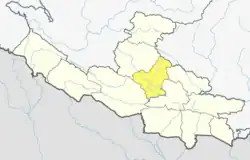
Barjibang is a village and Village Development Committee in Pyuthan, a Middle Hills district of Lumbini Province, western Nepal.
Villages in VDC
| Ward | Lat. | Lon | Elev. | ||
|---|---|---|---|---|---|
| Barjibang | बर्जिबाङ | 2 | 28°08'N | 82°46'E | 966m |
| Chalnetar | चाल्नेटार | 28°07'N | 82°45'E | 650 | |
| Dahachaur | दहचौर | 4 | 28°07'N | 82°46'E | 690 |
| Damar | दमार | 28°07'N | 82°46'E | 666 | |
| Dandagaun | डाँडागाउँ | 28°08'N | 82°47'E | 1,210 | |
| Dhanchaur | धनचौर | 28°08'N | 82°46'E | 1,005 | |
| Ghustung | घुस्तुङ | 28°07'N | 82°46'E | 590 | |
| Jhakeli | झकेली | 28°08'N | 82°46'E | 870 | |
| Kamire | कमिरे | 28°08'N | 82°47'E | 985 | |
| Maudhara | मौधारा | 28°08'N | 82°46'E | 985 | |
| Pallo Maudhara | पल्लो मौधारा | 28°08'N | 82°45'E | 910 | |
| Pedi | पेदी | 28°08'N | 82°46'E | 910 | |
| Simenikholagaun | सिमेनीखोलागाउँ | 28°09'N | 82°47'E | 1,501 | |
| Takura | टाकुरा | 28°07'N | 82°47'E | 635 | |
| Thulchaur | ठूलचौर | 28°09'N | 82°47'E | 1,530 | |
| AMILADHARA | अमिल्धारा | 9 | 28°07'N | 82°45'E | 610 |
References
- ↑ "Nepal Census 2001". Nepal's Village Development Committees. Digital Himalaya. Archived from the original on 12 October 2008. Retrieved 21 September 2008.
- ↑ "Index of Geographical Names of Nepal, Volume IV: Mid Western Development Region, List of Settlements, Pyuthan" (PDF). Government of Nepal, National Geographic Information Infrastructure Program. Archived from the original (PDF) on July 24, 2011. Retrieved 2011-03-12.
External links
This article is issued from Wikipedia. The text is licensed under Creative Commons - Attribution - Sharealike. Additional terms may apply for the media files.