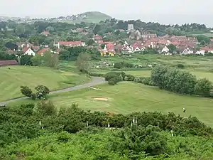
West Runton
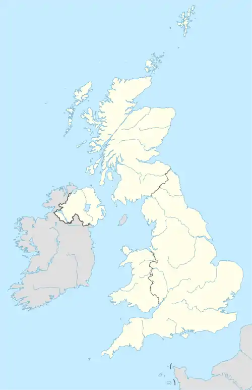
West Runton é uma cidade e freguesia no distrito de North Norfolk em Norfolk, Inglaterra [1], cerca de 22,1 milhas (35,6 km) de Norwich.
| West Runton | |
|---|---|
 West Runton | |
| Dados Gerais | |
| Nação | Inglaterra |
| Região | North Norfolk |
| Condado | Norfolk |
| Área | 5.53 km² |
| População (2001) | 1,633 habitantes |
| Localização | |
 West Runton | |
| 52.83847° 0' 0" N -1.24421° 0' 0" O | |
| Paróquias civis de West Runton, código postal NR26, distrito eleitoral de North Norfolk, referência no mapa do "Ordnance Survey": TG180427 | |
| Cidade do Reino Unido | |
Transporte
A via principal é a A149, que vai de Sheringham até Cromer [2]
Igreja
A igreja de West Runton, denominada " Holy Trinity Church", é uma das 124 igrejas com torre circular existentes em Nolfork[3].
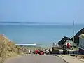
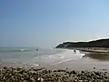
Gallery
- West Runton


Referências
- Ordnance Survey, Explorer Sheet 252, Norfolk Coast East, ISBN 978-0-319-46726-8
- County A to Z Atlas, Street & Road maps Norfolk, page 228 ISBN 978 1 84348 614 5
- Norfolk 1: Norwich and North-East, By Nikolaus Pevsner and Bill Wilson, West Runton entry, page 200. ISBN 0-300-09607-0
Vilas e freguesias do distrito de North Norfolk | ||
|---|---|---|
• Alby with Thwaite
• Aldborough • Antingham • Ashmanhaugh • Aylmerton • Baconsthorpe • Bacton (Norfolk) • Barsham, Norfolk • Barton Turf • Beeston Regis • Binham • Blakeney • Bodham • Briningham • Brinton • Briston • Brumstead • Burgh and Tuttington • Buxton • Catfield • Cley next the Sea • Colby • Corpusty • Cromer • Dilham • Dunton • East Beckham • East Ruston • Edgefield • Erpingham • Fakenham • Felbrigg • Felmingham • Field Dalling • Fulmodeston • Gimingham • Great Snoring • Gresham • Guestwick • Gunthorpe • Hanworth • Happisburgh • Helhoughton • Hempstead • Hempton • Hickling • High Kelling • Hindolveston • Hindringham • Holkham • Holt • Honing • Horning • Horsey • Hoveton • Ingham • Ingworth • Itteringham • Kelling • Kettlestone • Knapton • Langham • Lessingham • Letheringsett with Glandford • Little Barningham • Little Snoring • Ludham • Matlaske • Melton Constable • Morston • Mundesley • Neatishead • Northrepps • North Walsham • Overstrand • Paston • Plumstead • Potter Heigham • Pudding Norton • Raynham • Roughton • Runton, West • Runton, East • Ryburgh • Salthouse • Scottow • Sculthorpe • Sea Palling • Sheringham • Sidestrand • Skeyton • Sloley • Smallburgh • Southrepps • Stalham • Stibbard • Stiffkey • Stody • Suffield • Sustead • Sutton • Swafield • Swanton Abbott • Swanton Novers • Tatterford • Tattersett • Thornage • Thorpe Market • Thurning • Thursford • Trimingham • Trunch • Tunstead • Upper Sheringham • Walcott • Walsingham • Warham • Wells-next-the-Sea • West Beckham • Westwick • Weybourne • Wickmere • Wighton • Witton • Wiveton • Wood Norton • Worstead | .svg.png.webp) | |